Col du Tourmalet
42.9067, 0.1478
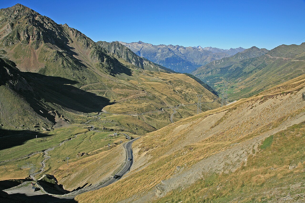
A mountain pass at 2,115 metres in the central Pyrenees, in the Hautes-Pyrénées of south-western France. The road, Route nationale 618, connects the villages of Sainte-Marie-de-Campan and Luz-Saint-Sauveur. The col has featured in the Tour de France more often than any other mountain pass; a monument to director Jacques Goddet stands at the summit. The name may come from the Gascon tour maillat, meaning bad trip. Snow closes the road from November to May. Barèges, the highest ski resort in the French Pyrenees, lies on the northern approach.
Sources
Add a stone
—