Furka Pass
2026-10-19
46.5725, 8.4150
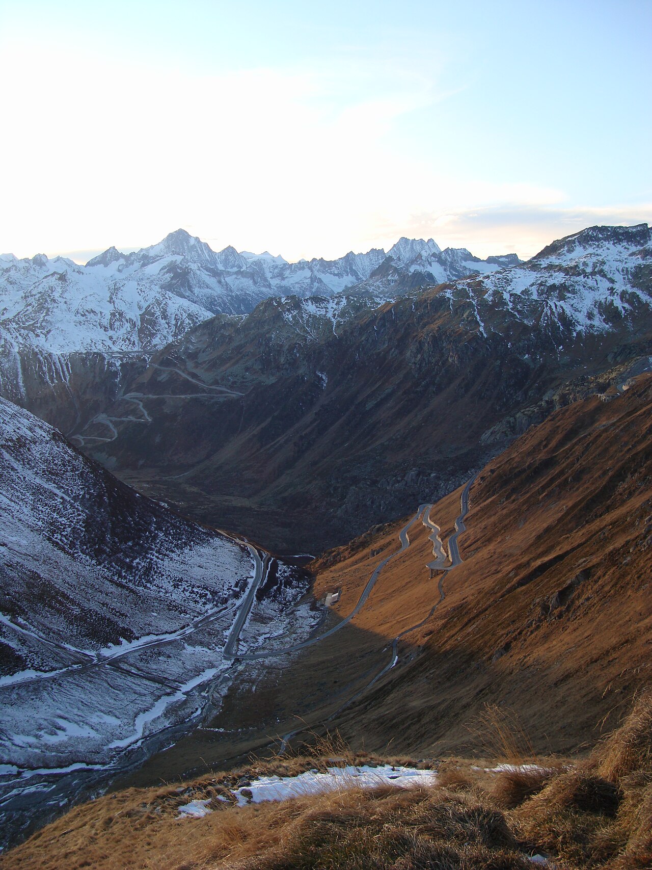
A 2,429 metre mountain pass in the southern Swiss Alps connecting Gletsch in Valais with Realp in Uri. The road was built between 1864 and 1866 and climbs in a series of hairpin bends past the Rhône Glacier. A James Bond film location: a curve near the summit is marked "James Bond Strasse". The Furka Base Tunnel, opened in 1982, now carries the railway beneath the pass. The Hotel Belvédère once stood near the western summit. The pass is open from roughly June to October and closes in winter. Its name comes from the Latin furca, meaning fork.

Add a stone
—
The Cairn
One stone for each place visited. The cairn grows with you.